
 My apologies if I misrepresent this piece since I've never heard it told directly by a member of the local Mi'kmaw First Nation, but Blomidon is supposed to be the home of the Mi'kmaw god Glooscap, and the tall pieces of Cape Split broken off the end of where you hike are referred to in local lore as "Glooscap's fingers". I would love to hear more about this from someone knowledgable.
I was first exposed to tides in this area in University - at Acadia University in Wolfville NS a standard part of the "frosh" program for initiating freshmen was to take them out onto the mud flats of the Wolfville Harbour during low tide and have them slide down the 30 and 40 foot natural mud slides. Of course everyone got completely covered head-to-toe in mud, which is why arrangements were always made with the local fire hall to pay a visit there afterwards to get hosed down.
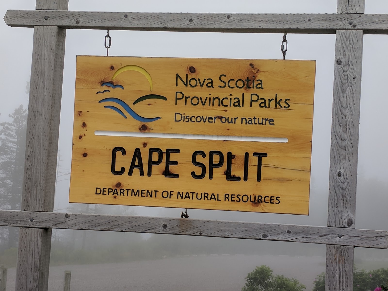
Cape Split was originally private land which from 2002 through 2007 got acquired by the Province of Nova Scotia and turned into a Provincial Park. In 2009 the province released a 20 year management plan with details on where they wanted the park to go.
Going There
 |
| Do not get caught on the other side of Little Split Rock |
It is people like that who ruin it for everyone.
When we were there last week there was a steady stream of hikers unlike any I'd ever seen before, but it was still far from what I would consider crowded like some of the Adirondacks hikes I've been on. But there is still an "elite" option that not many people do, and that involves taking a 'rogue' trail which leads you down onto the beach, and then hiking out to the end of the split once again but this time at the bottom of the 200 foot cliffs instead of the top.
The tides are an extremely important factor to take into consideration if you want to do the 'elite' hike to Cape Split, because if you do not time it properly with the tides you will find yourself with a shortage of beach and a whole lot of water. It does not take long on google to find stories of people who suffered serious injuries or even died at Cape Split - even doing the regular "non elite" hike.
The danger when doing the regular hike is that you are hiking out to the top of 200 foot cliffs, and the edges are unstable and can collapse at any time. The most recent horror story I recall is from 2016 when a woman's dog went over the edge and she went over too trying to rescue it. For this reason alone you are very strongly advised to keep your dog on a leash if you take it on the hike. And you should also give serious consideration to not getting too close to the edge yourself.

If you do try the elite hike the danger is getting caught past Little Split Rock as the tide is coming in. Once the tide cuts you off on the wrong side of Little Split Rock you are in big trouble and better hope that cell service is working and that the rescuers on the other end of 911 can get to you before the tide comes in and the beach disappears. Realistically if you did get caught in that situation probably your best bet would be go back out to the end and climb as high up onto Glooscaps Fingers as you can, and wait for help. It is a relatively easy climb or at least it was 25 years ago the last time I did it, and the bigger fingers do stay above the high tide mark. But really your best bet of all is to plan properly and not be stupid and get yourself caught in that situation.
To do the elite hike my advice has always been to start your hike at the trailhead at or shortly after high tide. This gets you out to the split on top in 90 minutes tops, and then from there it is an easy 30 minutes down onto the beach at Little Split Rock Cove. Now you are only 2 to 3 hours past high tide, with plenty of time to hike back out to the split and back again. It is only about 30 minutes both ways. Add 30 minutes for messing around and climbing Glooscap's Fingers and you still have lots of time. Just pay attention to your watch and the tides, and make sure you know when high tide is. I've never seen other hikers along the extra portion which encompasses the elite hike. It is far less traveled.
On our trip last week high tide was at about 7am and since I wanted to take my teenage boys I knew there was no way I was going to get them out of bed in time to be able to do the elite hike on bottom. But we did still manage to get underway before 11am which gave us plenty of time to get out onto the beach before high tide, and do a bit of exploring just within Little Split Rock Cove.
 |
| Giant Birch with Carved Names |
 |
| Where the "elite" path joins the main path |
The View
 | |
|
Unfortunately on our trip last week it was extremely foggy, so we could not see much when we were out there. We got a pretty good view north towards Parrsboro where we could see the fog rolling up over the land and disappearing behind the hill - that was a pretty cool site that did not really capture well in my pictures. I've seen a similar site in the past from Lower Blomidon where you watch the fog roll over the top of Blomidon towards you. That is equally impressive.
Every other time I've been to Cape Split it has been a crystal clear day, and from the end you can look down the barrel of the Bay of Fundy into nothingness, as you watch the mainland on both sides slowly disappear into the ocean. It is a truly spectacular view that is second to none I've ever experienced in my journeys. I hope to get back out there again sometime soon with the kids so that they can get another chance at experiencing it.
The Lookoff
While you can get to Cape Split without going past the Lookoff, most people take the route that goes past it. I recommend you stop and have a look down the Annapolis Valley, and also stop into the Lookoff store for a massive ice cream cone that will cost you half what a cone half that size costs in the city.
Tidal Swimming
If you want to experience tidal swimming while in the area the two best places I know of are Houston's Beach and Blomidon Beach which is part of Blomidon Provincial Park. Both are easy to find with google. I recommend you go there an hour before high tide, and stay until the tide turns. But come back at low tide to see the difference.
Other Local Destinations
The Canning Meat Market is a great local butcher shop that makes some spectacular products including some incredible beef jerky
Wolfville is a very nice small university town, and the Wolfville Farmer's Market on Wednesday evening and Saturday morning is worth a stop.
Hall's Harbour is a great place to buy lobster fresh off the boats, cooked for you right on the wharf.
The fairy cottages at Huntington Point are kind of a neat tourist attraction that have a cool back story.
Within the last 20 to 30 years a vibrant wine industry has sprung up in the area with lots of old apple orachards having been replaced by vineyards.
The eagles at Sheffield Mills are a popular attraction. The local chicken slaughter plants have attracted huge numbers of birds of prey, and there is a whole tourist industry that has evolved around watching them.
Delhaven Wharf - on the way to Blomidon. Go there at low and high tide to see the difference.


No comments:
Post a Comment